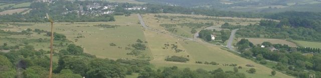
The former RAF Harrowbeer Airfield is situated in the Parish of Buckland Monachorum, Devon. It is approximately nine miles NNE of the city of Plymouth and approximately six miles South of Tavistock, and also sits within the boundary of Dartmoor National Park. Although sited near the Village of Yelverton, it was called ‘Harrowbeer’ in order to distinguish it from RNAS Yeovilton. The Airfield was under the control of ’10 Group’ and it was never assigned a station badge.
Technical Information on RAF Harrowbeer |
|
| OS Grid Reference | SX513680 |
| Lat/Long | 50° 29′ N 04° 05′ W |
| Height above sea level | 650 ft |
| Airfield Code | QB |
| Runways: | length/width – surfaced with: |
|
11/29
|
3840 ft x 150 ft – asphalt |
|
17/35
|
3345 ft x 150 ft – asphalt |
|
05/23
|
2736 ft x 150 ft – asphalt |
| Airfield opened | 15th August 1941 |
| Airfield closed | 31st July 1945 |
| Dispersal (blast or ‘E’) bays | 12 |
| Hangars | 2 x Bellman (T2) 8 x Blister |